

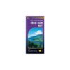
The Harvey Great Glen Way XT40 Map is a detailed map, with the route clearly marked. It also contains general info & useful telephone numbers to assist with planning.
These maps are tough, durable, light & 100% waterproof – virtually indestructible in normal use.
Since 1977, HARVEY has gained a reputation for high quality maps for adventurous recreation. These award winning maps are compiled from original aerial surveys and field checked by our experienced surveyors, themselves hill-walkers.
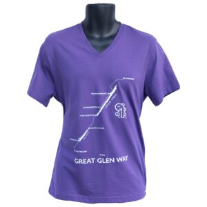
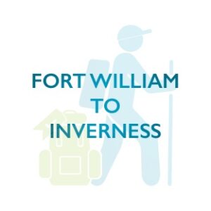
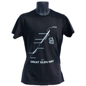
One of Scotland’s Greatest Trails, the Great Glen Way is 117km (73 miles) long, from Fort William to Inverness via Fort Augustus. It passes along the Caledonian Canal and follows the north shore of Loch Ness.
- Tough, light, durable and 100% waterproof
- Genuine original HARVEY mapping
- Route clearly marked
Specifications
- Weight: 34g
- Scale: 1:40,000
- Ratio: 2.5cm = 1km
- Flat size: 696 x 486mm
- Folded size: 116 x 243mm
- Double sided: Yes
- Format: Strip map
Available both in store and online.


Reviews
There are no reviews yet.